
- Home
- Services

Deformation Monitoring
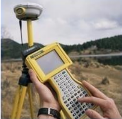
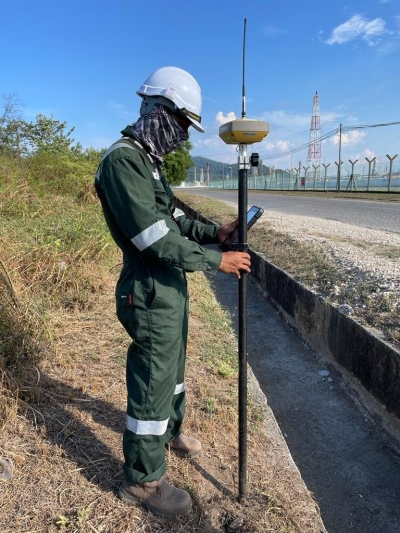
GPS & Geodetic Surveys
Topographical Surveys
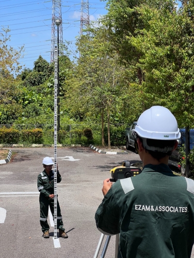
Engineering Surveys
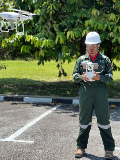
Airborne Laser Profiling & Mapping

Aerial Photogrammetry
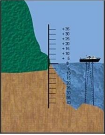
Gathering information about waterways, rivers, harbors and oceans such as the depths of water, the nature of seabed, and the location of currents and shorelines.
This information is used by maritime industries, marine and harbor organizations, the navy and offshore petroleum industries.
This information is used by maritime industries, marine and harbor organizations, the navy and offshore petroleum industries.
Hydrographic Surveys
Provides consultancy, training, data acquisition, data processing and establishment of the database including the maintenance and updating of the system.
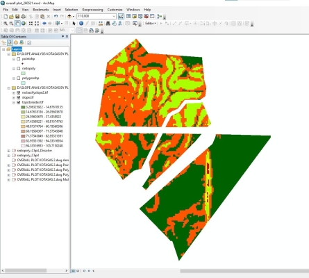
Geographic Information System (GIS)
