
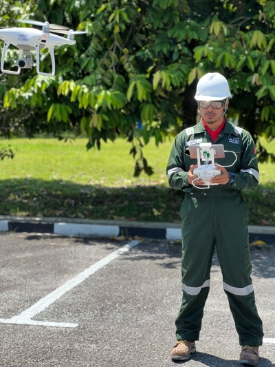
Collect geomatics or other imagery by using airplanes, helicopters, UAVs, or others aerial methods.

Aerial Photogrammetry
Airborne laser scanning, also commonly known by the acronym LiDAR (Light Detection And Ranging) is an active remote sensing technique, used to record the surface of the earth, specifically the topography of large areas of terrain and objects on appearing on it.
Airborne Laser Profiling & Mapping
